
Last fall, our community came together to craft a shared vision—one rooted in unity, trust, and respect. With that vision statement, we affirmed our commitment to environmental stewardship, financial independence, and the preservation of Whitetop’s rich local history and heritage. It was understood that community leaders would work in alignment with this vision and that decisions affecting our home would reflect these values.
Today, we find ourselves confronting a situation that challenges that understanding.
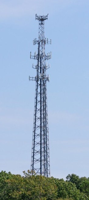
Grayson County currently lists three main criteria for selecting the location of a new cell tower:
1) Cost
2) Coverage
3) Time to Complete
While these factors are important, they don't fully reflect the broader commitments outlined in the County’s own Comprehensive Plan, which pledges to:
We believe it’s essential that these values guide infrastructure decisions. That’s why we’re asking the County to add a fourth criteria to the tower selection process: Alignment with the County’s Comprehensive Plan.Let’s ensure that progress doesn’t come at the expense of the very character and heritage that make our community special.
Grayson County Comprehensive PlanAt the County/Community meeting last week, the county presented information about the Fire Department's property as an alternate location for the cell tower. They said the site would work, but the cell coverage would drop by approximately 27% for Whitetop residents.
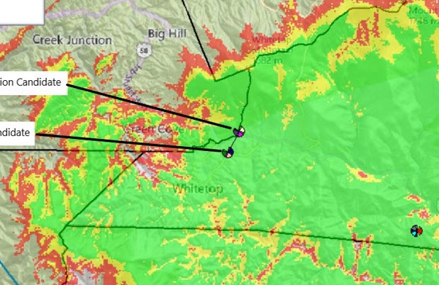
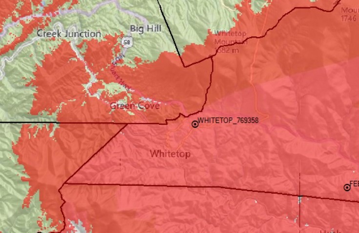
However, when the coverage map for the alternate location is compared to the Old Park Rd location (maps are below) it appears the loss of coverage was not for Whitetop residents, but to areas in NC, the Creeper Trail, and Washington County. The county has gone back to US Cellular to clarify this and confirm they had the correct community boundaries when they did their calculations.
The other concerns with using the alternate site is the additional cost to do a second geological study, and the delay in completing the project. These are similar obstacles the county had to overcome when they moved the Fees Ridge tower to Walnut Knob.
The coverage maps below were provided by the County, but they’re difficult to compare directly. The County has requested more comparable maps from US Cellular.
- The Old Park Road map shows coverage in red, but does not include reception strength details.
- The Fire Department map displays both coverage and varying reception strength levels.
The most noticeable difference between the two appears to be less coverage from the Fire Department site toward Creek Junction, Whitetop Mountain, the Creeper Trail, and parts of North Carolina. For most residents living in Whitetop, there appears to be little difference in coverage.
Updated, more comparable maps will be posted here as soon as they are available.
The best way to help is to act. Here are some ways you can let your voice be heard...
"The greatness of a community is most accurately measured by
the compassionate actions of its members."
Here are sample letters you can use to contact your county representatives.
Letter Template #1Letter Template #2Click on any County representative’s name below to view their contact information on their official webpage.
The next public meeting for the tower will be with the Planning Commission. Jada Black, the Director of Development and Planning, said it will not be on the August agenda, and will likely be discussed at the September meeting.
Date/Time: TBD
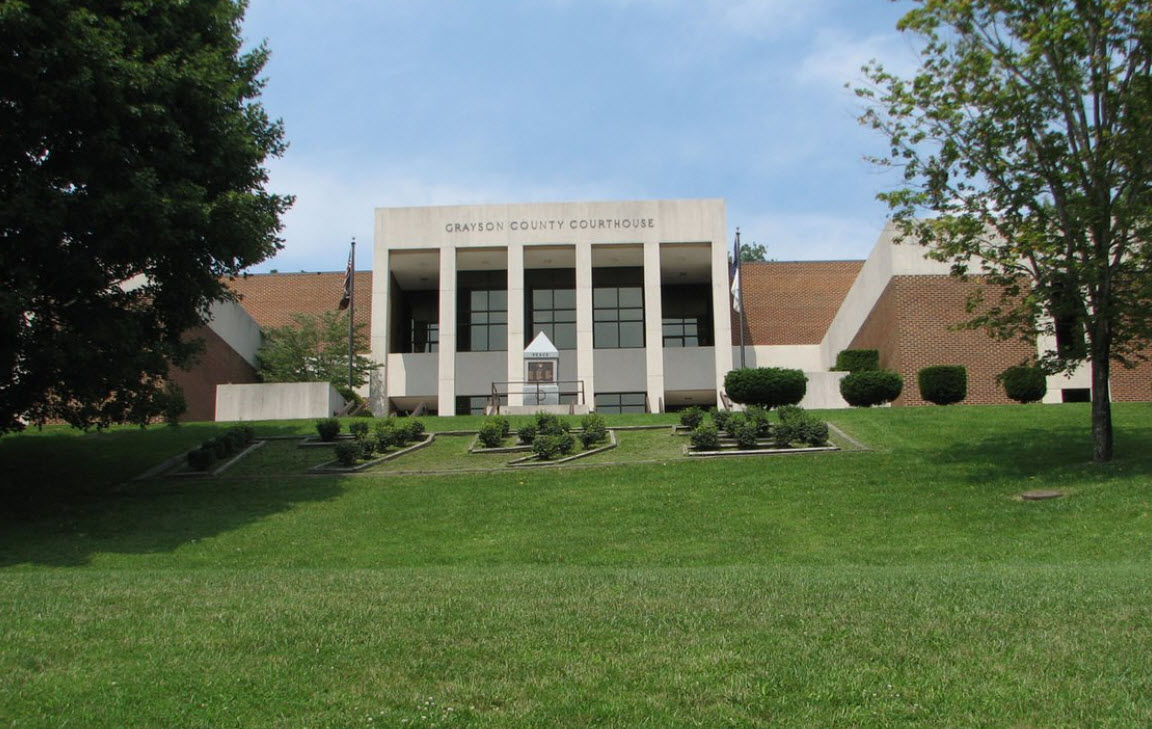
Location: Grayson County Courthouse, Boardroom
129 Davis Street, Rm 206
Independence, VA 24348
Friends of Whitetop
Email us @ friendsofwhitetop@gmail.com
